
Wave Helicopters provides helicopter aerial surveys in Fort Lauderdale and across Broward County for engineers, planners, environmental consultants and contractors.
Helicopter Aerial Surveys in Fort Lauderdale
We plan each flight around your survey area, sensor needs and schedule, from beach and canal work to construction progress and post-storm checks. Send us your scope and we will return a flight plan and a quote.
Why a Helicopter Suits Survey Work in Broward County
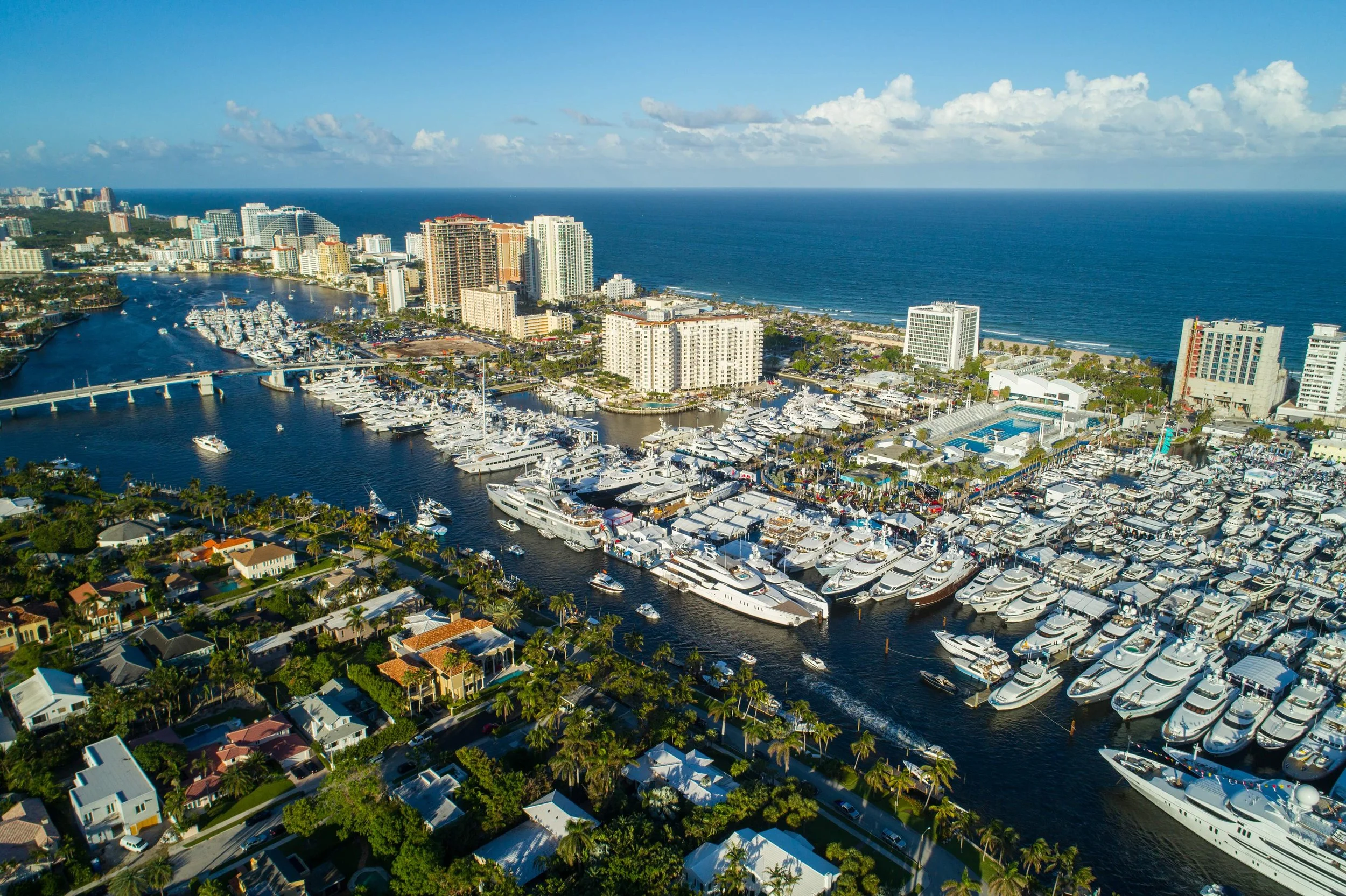
In Broward, a single scope can cover open beach, a working seaport, tidal rivers, miles of residential canals and a dense downtown. A helicopter covers it in one flight window and can slow down and drop low over the parts of the site where detail matters.
We are based at Pompano Beach Airpark, minutes from downtown Fort Lauderdale, its beaches and the port. A short positioning leg leaves more of the booked flight time over your survey area and less of it in transit.
What a Survey Flight Can Document in Fort Lauderdale
Each use below ties to a real place in the county. Scope, coverage and deliverables for your project are set with you before a flight is planned.
Beach Erosion and Renourishment Along Fort Lauderdale Beach
Broward County keeps its beaches through the Broward County Shoreline Protection Project. According to Broward County's beach program page, the Segment II work in 2016 placed about 650,000 cubic yards of sand along the Pompano Beach, Lauderdale-By-The-Sea and Fort Lauderdale shorelines, and the U.S. Army Corps of Engineers is planning another Segment II project.
A coastal erosion aerial survey gives teams on projects like these a wide, consistent record of the shoreline. Flights before, during and after sand placement can capture beach width, dune condition and vegetation along the same stretch each time. When the same lines are flown on every visit, each new data set lines up with the last one and changes in the shoreline become easy to measure. With LiDAR added, the record includes terrain models for volume and elevation comparisons.
The New River, the Intracoastal and Residential Canals
A survey flight over the New River, the Intracoastal Waterway and the canal network can map waterway edges, seawall lines and low spots where water collects. Flights can be timed for seasonal high tides or the hours after heavy rain.
Port Everglades and the I-95 and I-595 Corridors
Port Everglades spans parts of Fort Lauderdale, Hollywood and Dania Beach as well as unincorporated Broward County, with an entrance off I-595. For infrastructure work around the port and along the I-95 and I-595 corridors, an aerial inspection can record the condition of roads, bridges, utility lines and other assets across long linear routes in one pass.
Construction Progress Downtown and Along Las Olas
Building sites in downtown Fort Lauderdale and along Las Olas Boulevard are often tight, surrounded by existing towers and busy streets. A regular aerial record shows site progress from a fixed angle on a fixed schedule, so owners and review teams can compare one month to the next.
Post-Storm Damage Assessment
After a hurricane or major flood, a quick aerial pass over the coast and the neighborhoods behind it helps agencies and owners see what was hit and where crews should go first. When the response also needs personnel, supplies or equipment moved, our disaster relief and emergency response team handles that side of the mission.
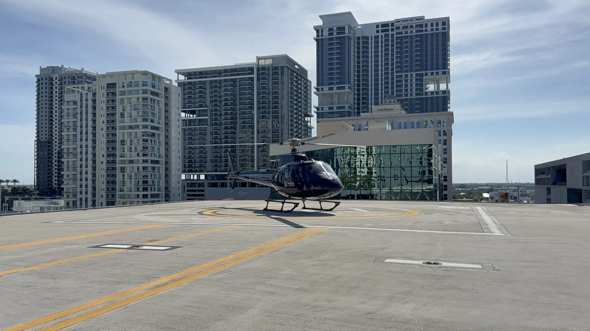
Much of Fort Lauderdale sits close to two airports: Fort Lauderdale-Hollywood International (FLL), near Port Everglades, and Fort Lauderdale Executive Airport (FXE). That means survey lines over the beach, the port or downtown often fall inside controlled airspace. Every survey mission is coordinated with air traffic control, including flights near FLL and FXE. That coordination is built into the flight plan from the start.
Summer afternoon storms are common in South Florida, so flight windows are planned around them and confirmed on the day.
Flying Near FLL and Fort Lauderdale Executive Airport

Credentials, Sensors and Data Options
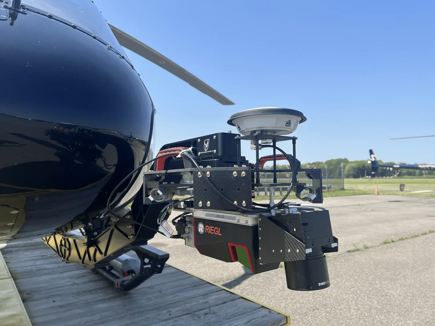
On request, we can equip the aircraft with LiDAR for terrain modeling or with a high-resolution imaging system, and the sensor settings follow your project scope. If you need a specific system, resolution or overlap, tell us in the scope and we will confirm what can be fitted for your flight.
Our flights are backed by Wings Air Helicopters, an FAA-certified operator with a 24-year history. Wings Air holds WYVERN and ARGUS Gold safety ratings.
As it relates to all Part 135 flights, Wave Helicopters Inc. acts solely as an air charter broker and does not exercise operational control over the aircraft. All Part 135 flights are operated by Wings Air Helicopters LLC (FAA Certificate No. W1ZA367L).
How Helicopter Aerial Surveys in Fort Lauderdale Come Together
Most projects move through four steps:
Scope: you send the survey area, the data you need (imagery, LiDAR or both), the deliverables and your deadline.
Flight plan: we draw flight lines around your coverage needs and arrange airspace coordination near FLL or FXE.
Survey flight: our pilot holds the altitude and speed each sensor requires along every planned line, adjusting to the weather on the day.
Repeat visits: when a project calls for ongoing monitoring, the original lines are flown again on your schedule so each data set compares cleanly.
The more detail you share in the scope, the more precise the flight plan and the quote will be. Ask our team about sample imagery and sensor specifications when you send your request.
Our South Florida helicopter aerial surveys page explains the full service, and projects south of the county line are covered on our page for helicopter aerial surveys in Miami. If your project also needs footage for presentations or marketing, our aerial photography and film production team in Fort Lauderdale can plan it alongside the survey.

FAQ
-
The price is set by the size of the area, the hours in the air, the sensors on board and the number of repeat flights. Send your project details and we will prepare a customized quote.
-
Survey lines inside the controlled airspace around both airports are coordinated with air traffic control as part of flight planning. Share your survey area early so the coordination can be built into the schedule.
-
Yes. LiDAR is available on request, and we fly survey work across South Florida. Share the location and the data you need, and we will confirm the setup for your project.
-
Availability after a storm depends on weather, airspace restrictions and demand. Contact our team early with the area you need assessed.
Request a Survey Quote
An aerial survey in Fort Lauderdale starts with three details: the area you need covered, the data you want back and the date you need it. Email fly@wavehelicopters.com or use the Request a Survey Quote button, and our team will build a flight plan and a customized quote for your Broward County aerial survey.