
Miami's landscape changes fast. Beaches shift with every storm season, Biscayne Bay's shoreline responds to rising water, and new towers keep rising across Brickell and Edgewater. A helicopter aerial survey in Miami gives engineering firms, environmental consultants and municipalities a current, wide-area view of those changes, captured at low altitude and slow speed.
Helicopter Aerial Surveys in Miami
We fly out of Pompano Beach Airpark, a short flight north of Miami-Dade, and plan every mission around your scope, data requirements and schedule. For our region-wide survey work, visit our South Florida helicopter aerial surveys page. This page focuses on the Miami projects we're asked about most.
Why Miami Survey Work Suits a Helicopter
A single Miami project can involve open beach, shallow bay, dense urban blocks and a long, connected network of canals. A helicopter reaches all of them in one flight window and flies low and slow where detail matters. It also gets over mangrove fringes and spoils islands that are hard to reach by ground or boat.
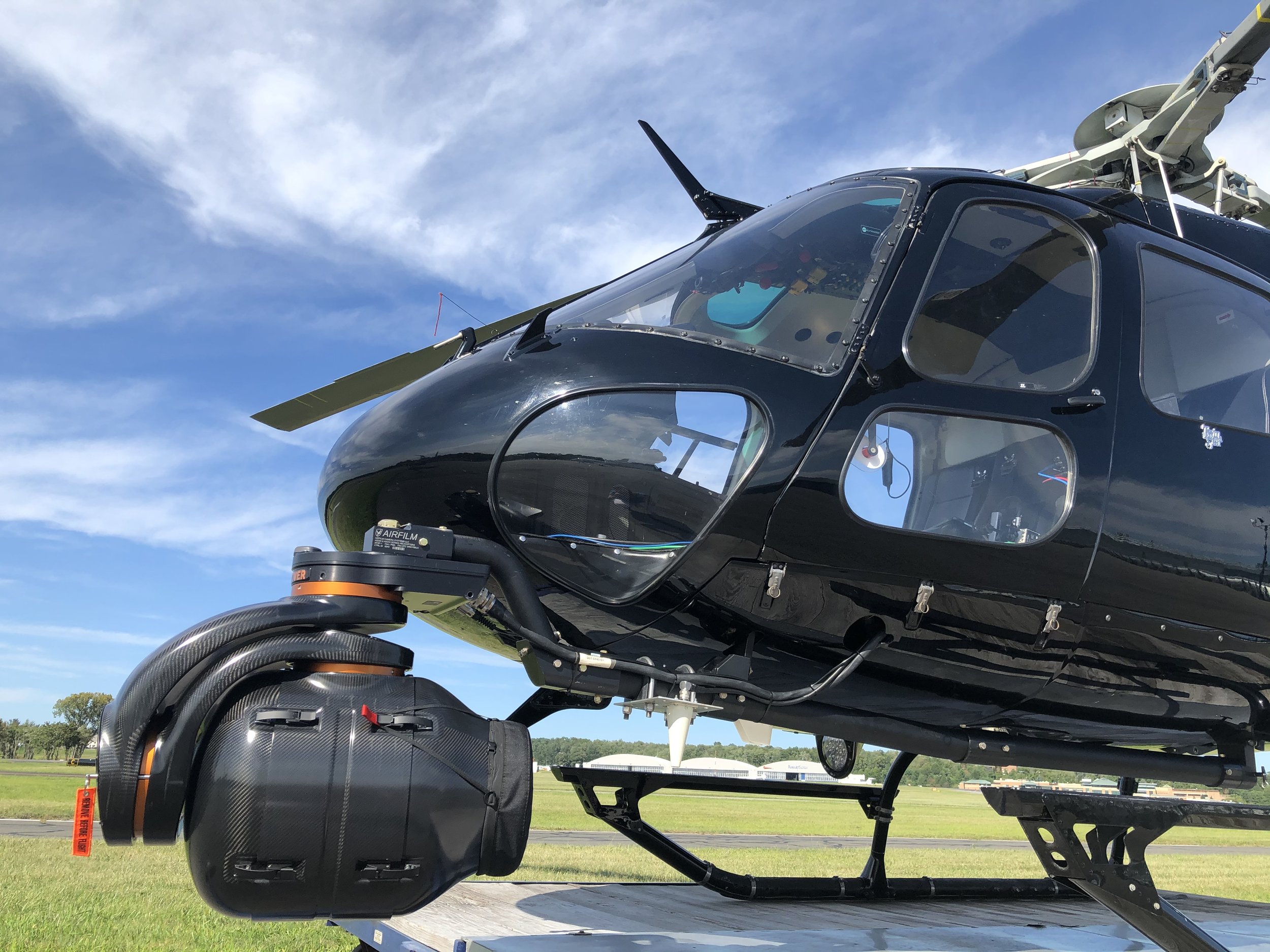
Our aircraft can be fitted with LiDAR systems for detailed terrain modeling or high-resolution imaging systems upon request, with custom sensor settings based on your project scope
Miami Aerial Survey Applications
Beach Erosion and Renourishment Monitoring on Miami Beach
Miami Beach depends on periodic sand renourishment. Where is the sand moving, how are the dunes holding up, and which stretches need attention next? Repeat flights from South Pointe through Mid-Beach and North Beach give you consistent coverage of shoreline position, dune integrity and coastal vegetation. Adding LiDAR produces terrain models you can compare survey to survey.
Biscayne Bay and Mangrove Assessments
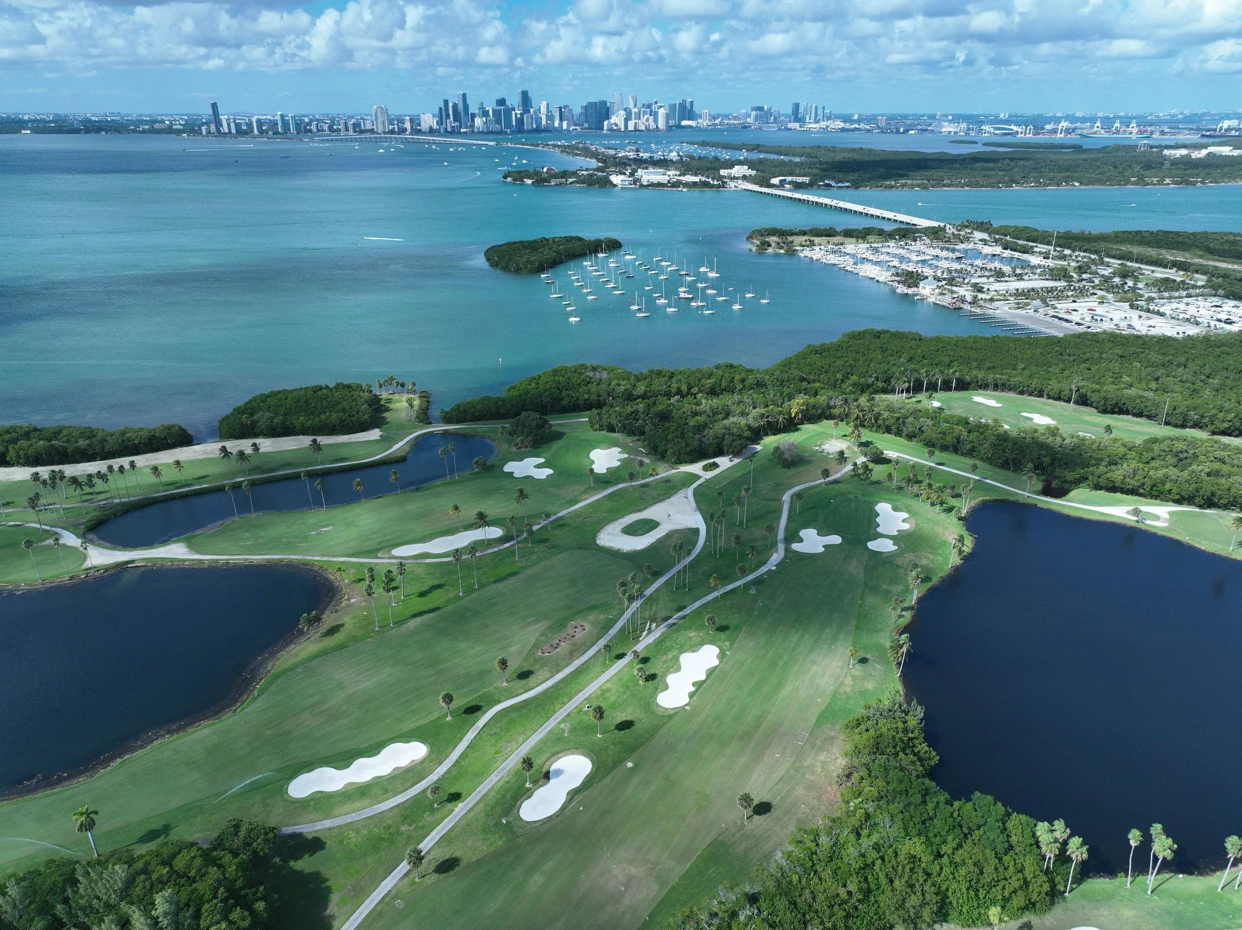
The mangrove shorelines of Biscayne Bay, along the mainland and around Virginia Key and Key Biscayne, are highly sensitive habitats. Aerial surveys document mangrove extent, shoreline change and wetland condition without sending crews or boats into fragile areas. Low, controlled passes keep disturbance to wildlife to a minimum while still producing usable data.
Canal Network and Flood Mapping
Miami-Dade moves stormwater through an extensive system of canals, drainage structures and low-lying streets. We map waterways, canals and drainage systems so municipalities and engineers can see where water collects and which neighborhoods are most exposed. Flights can be scheduled after heavy rain or during seasonal high tides to capture conditions as they happen.
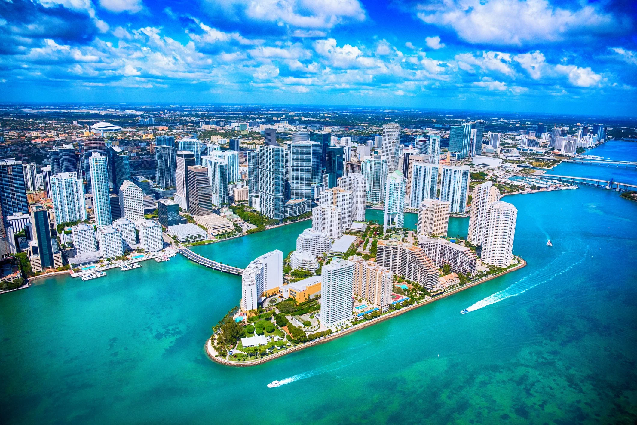
Construction Monitoring in Brickell and Edgewater
Brickell and Edgewater remain two of Miami's busiest development corridors, and sites packed between towers are hard to read from street level. Aerial surveys support construction planning, progress documentation, zoning compliance and land-use analysis. Flying the same site on a regular schedule builds a clear visual record for owners, project managers and review teams.
Bridges, Causeways and Utility Corridors
The causeways linking the mainland to Miami Beach and Key Biscayne carry heavy daily traffic over open water. Aerial inspections of bridges, roads, utilities and other critical assets help identify damage, wear and vulnerabilities before they become costly repairs.
Post-Hurricane Damage Assessments
After a hurricane or major flood, we fly rapid aerial assessments of coastline, infrastructure and neighborhoods to help evaluate damage and support emergency response. When recovery also calls for moving crews or supplies, our disaster relief and emergency response team can support the mission.

Much of Miami sits beneath the busy airspace surrounding Miami International Airport, with several other airports nearby. Survey flights here are never improvised. Every survey mission is coordinated with air traffic control, so flight lines over Brickell, the bay or Miami Beach are cleared and flown as planned.
Our pilots know South Florida's terrain, airspace and weather patterns, including the summer afternoon storms that shape the best flight windows. That local knowledge keeps your schedule realistic and your data consistent.
Flying in Miami's Controlled Airspace
The Credentials Behind Every Flight
Wave Helicopters operates under the professional standards and operational leadership of our sister company, Wings Air Helicopters. Wings Air is an FAA-certified operator with a 24-year history and an award-winning safety record, including WYVERN and ARGUS Gold ratings. Public projects and client procurement teams often ask for documentation before a flight is approved, and that record is already in place.

How a Miami Survey Project Comes Together
Scope. Share the survey area, data type (imagery, LiDAR or both), deliverable needs and timeline.
Plan. We build flight lines around your coverage needs and coordinate airspace access.
Fly. Our pilot flies the planned lines at the altitude and speed your sensors need, adjusting for weather.
Repeat. For monitoring work, we fly the same lines on your schedule so each data set compares cleanly with the last.
Who We Work With
We work with engineering firms, environmental consultants, municipalities, researchers, developers, construction managers and private industry. If your project also needs presentation-quality footage, our aerial film production team can capture it on the same program.

Frequently Asked Questions
-
Pricing depends on survey area, flight time, equipment such as LiDAR or high-resolution imaging, and how often flights repeat. Share your project details for a customized quote.
-
Yes. Flights in Miami's controlled airspace are coordinated with air traffic control, and we plan flight lines with that coordination built in.
-
Yes. LiDAR systems for detailed terrain modeling are available upon request, along with high-resolution imaging and custom sensor settings based on project scope.
-
We are based at Pompano Beach Airpark, a short flight north of Miami, with coverage across Miami-Dade and the rest of South Florida.

Plan Your Miami Aerial Survey
Tell us the area, the data you need and your timeline, and we'll put together a flight plan and a customized quote.
Call 786-244-6078 or email fly@wavehelicopters.com. Based at Pompano Beach Airpark, serving Miami-Dade, Broward, Palm Beach and The Bahamas.
As it relates to all Part 135 flights, Wave Helicopters Inc. acts solely as an air charter broker and does not exercise operational control over the aircraft. All Part 135 flights are operated by Wings Air Helicopters LLC (FAA Certificate No. W1ZA367L).