
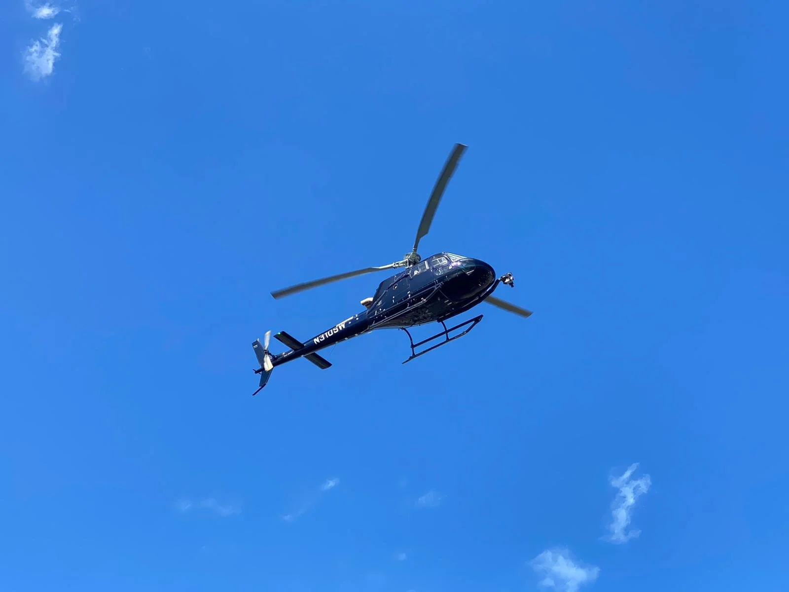
Helicopter Aerial Surveys
in South Florida
Precision Data. Rapid Coverage. Local Expertise.
Helicopter Aerial
Surveys
in South Florida
Precision Data. Rapid Coverage. Local Expertise.
Advanced Aerial Survey Solutions
Advanced Aerial
Survey Solutions
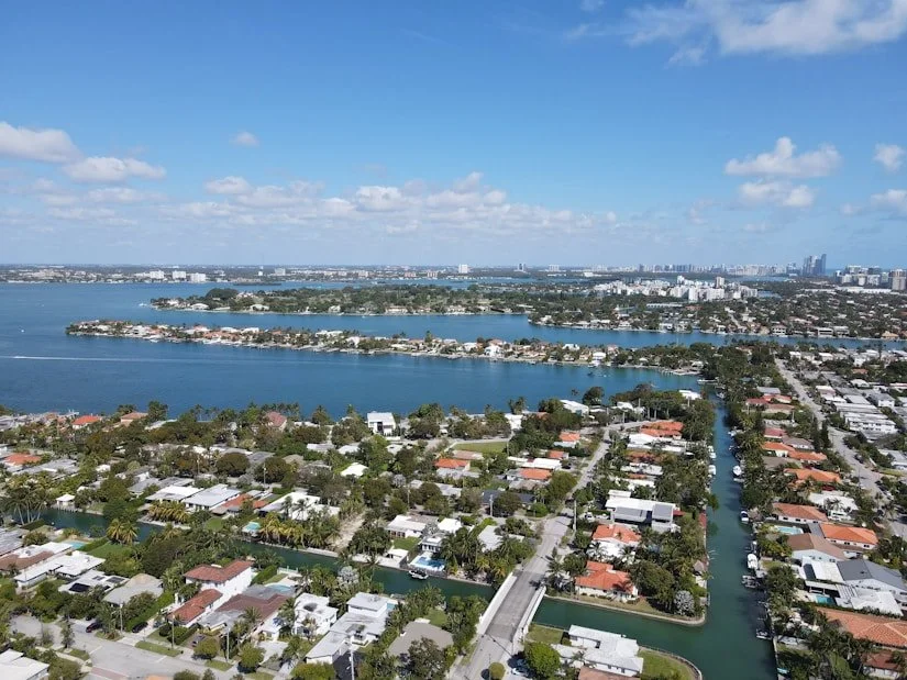
Wave Helicopters provides fast, accurate, and reliable aerial survey services throughout South Florida and The Bahamas. From coastal ecosystems and wetlands to urban infrastructure, utility corridors, transportation networks, and construction projects, our helicopter-based survey solutions deliver high-quality data collection in environments where precision and flexibility are critical. The unique capabilities of helicopters allow for low-altitude operations, slow-speed flight, and access to remote or difficult-to-reach areas, making them an ideal platform for a wide range of aerial survey missions.
We support environmental monitoring, wildlife surveys, infrastructure inspections, LiDAR mapping, utility assessments, engineering projects, and scientific research with customized flight operations tailored to each project's requirements. Working closely with government agencies, engineering firms, environmental consultants, researchers, and private industry, Wave Helicopters provides safe, efficient, and cost-effective aerial survey services that help clients gather the critical information needed to make informed decisions and successfully manage complex projects.


Survey Applications We Support
Survey Applications
We Support
Technology-Driven Data Collection
Technology-Driven
Data Collection
Our helicopters can be equipped with advanced tools upon request

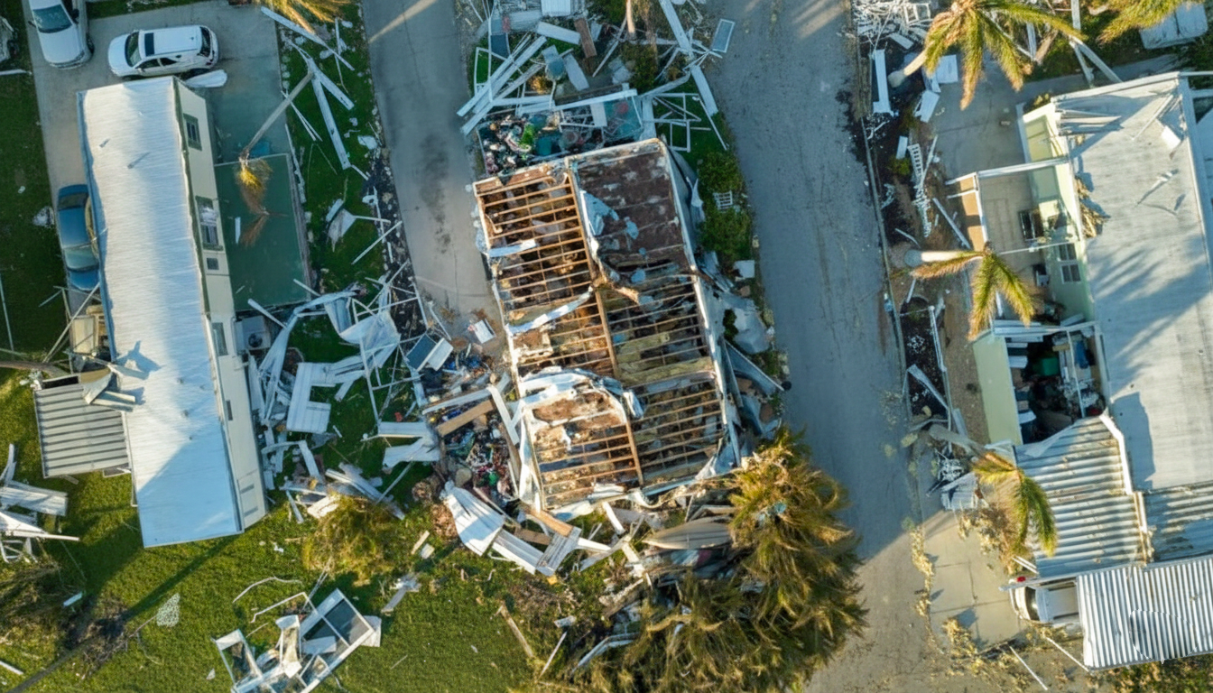
Beach Erosion
& Coastal Change

LiDAR systems for detailed
terrain modeling

Custom sensor settings
based on project scope
Why Choose Us?
Why Choose Us for Aerial Surveys?

Local Expertise
Our pilots and crews possess in-depth knowledge of South Florida’s terrain, airspace, and weather conditions.

Advanced Aircraft & Technology
Modern helicopters equipped with premium interiors, climate control, and optional LiDAR or high-resolution imaging systems.

Custom Flight Solutions
Every mission is tailored—whether for travel, surveying, or filming—ensuring optimal results and efficiency.

Efficient Coverage
Rapid access to coastal regions, urban developments, and remote locations— saving time without compromising quality.

Ready to collect accurate,
actionable aerial data?
Ready to collect accurate, actionable aerial data?
Request an Aerial Survey with Wave Helicopters